
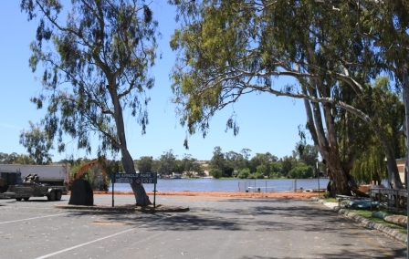
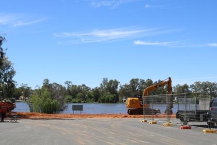
We recently took a drive to Mannum on the Murray River, to take a look at how the rising river is affecting the town, and to see what preparations are being put in place to try and manage the expected flood event.
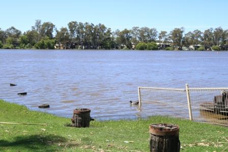
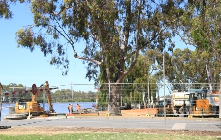
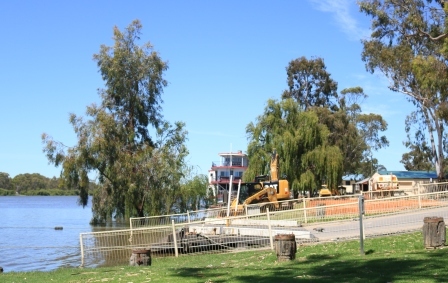
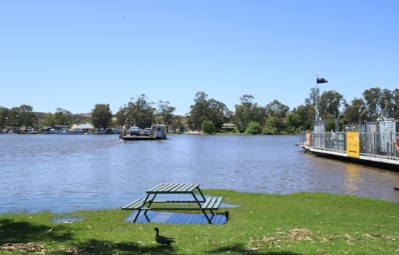
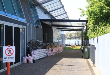
Currently a levee bank is being prepared along River Lane next to the Mary Ann Reserve and also parallel to the river near the ferries and Arnold Park, so access to these areas is blocked to traffic. Both of these areas are usually very popular with visitors, with a market and other events regularly held in these picturesque spots. The effect of the rising river is very noticeable though, with the ferry access roads quite a long way underwater already.
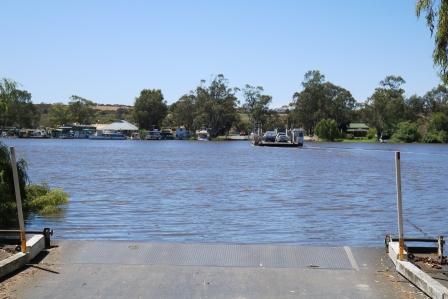
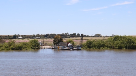
Watching the ferries cross the river is interesting too as they seem to struggle against the fast flowing current, deviating off line before the cables pull them back on course. At the time of writing, the ferries are still operating but who knows for how much longer.
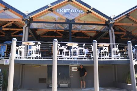
One spot to get a good view of the rising waters is from the Pretoria Hotel on Randall Road, where there is a beer garden (at the moment) where they have made a scale to show where the water level will get to, depending on how many gigalitres come down the river. Quite incredible to imagine.

It’s a strange feeling to visit the towns that are about to be inundated, but provided you don’t get in the way and respect the work that is being done to try and protect the businesses and residences, visitors are still welcome to come and spend money in the town. Time will tell with that too. Some planned events like the regular riverside market and Sounds by the River, have both been moved to different venues so that they can go ahead still.
Other work that we noticed was that the caravan park, normally a beautiful spot to stay directly on the river, has removed a lot of their cabins and are also trying to build a levee bank to minimize the harm that will no doubt come.

To get an understanding of what Mannum and other towns along the river are facing, take a look at the projected flow inundation maps here. The river is superimposed over town maps and shows what areas are expected to be inundated depending on the daily flow rate. If you zoom in, you can see the devastating effect it will have.
The only good news is that the towns along the way are getting some warning and predictions so they can prepare as best as they can.
Latest information has a flow of 175 gigalitres coming down the river next week and that could be up to 200 gigalitres (possibly more) by the end of the year. The State Government and emergency services are currently directly contacting around 450 permanent residences which will be in the direct path of the flooding, and making sure that they are prepared and have alternate accommodation plans in place.
More than that number will actually be affected as there are other shacks and blocks of land that aren’t used by permanent residents. If the river flow increases to an even higher 250 gigalitres, over 1000 residences will be affected, and this is what the Government is preparing for. (The worst case scenario)
The first peak of the river is expected at the South Australian border in the next few days and will take about 3 weeks to flow through.
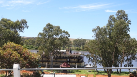
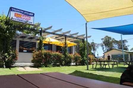
Further down river we stopped in at The Wellington Hotel for lunch which is in prime position on a clifftop overlooking the river and the constantly moving ferry taking traffic back and forth across the river.
For a weekday, business was booming and all dining areas of the hotel from indoors, the covered verandah and the beer garden were busy with patrons. It was no wonder though, with the food, service and prices all absolutely terrific.
If you’re planning on taking a drive along the Murray and visiting the river towns, business is still very much welcome, but just be mindful of respecting the locals who will no doubt be on edge about what’s coming, and be prepared for detours and other restrictions to apply.
Fingers crossed for the communities involved and for all the information you need on the Murray River flood in South Australia and the roads and services affected, visit the official Government website HERE.
Stay safe,
Glenys
Discover more from Caravan Correspondent
Subscribe to get the latest posts sent to your email.

It’s incredible the amount of water making its way down. Our mates ski block at Barmah has been under water. Their son who lives in Echuca thankfully only had the backyard flooded but have had a harrowing time.
LikeLiked by 1 person
The description I’ve seen as ‘a slow moving tsunami’ seems pretty accurate. Very worrying for those with houses and properties along the river. We are hearing stories of things like bbqs and fridges seen floating along in the river too, 😬so that’s something for boaties and skiers to be aware of too.
LikeLiked by 1 person
It’s so hard to imagine the massive volume of water heading for these towns. At least they’ve had some warning and can prepare as much as possible. Guess what!! It’s raining again here 😏
LikeLiked by 1 person
😩Happy first day of summer!
LikeLike
Yes, it’s a bit sad isn’t it.
LikeLiked by 1 person